

Intelligent Traffic Solutions
Traffic Detection
Traffic signal sensors have the capacity to read and detect a variety of different roadway elements. Whether you are managing an event or doing crucial city planning, it is vital to know the volume and scalability of traffic flow. This is possible through vehicle detection technologies. Knowing how many vehicles enter a specific area on a daily basis can go a long way in improving the general functionality and safety of your infrastructure.
You can deploy advanced traffic sensors used to detect vehicles that have the capability to track and detect vehicle count. Traffic detection is a versatile solution that can read and detect more than just metal. It can also monitor the conditions of the surrounding environment and provide valuable data that will go a long way in mitigating any arising issues that can impede traffic infrastructure.
What Can Be Detected?
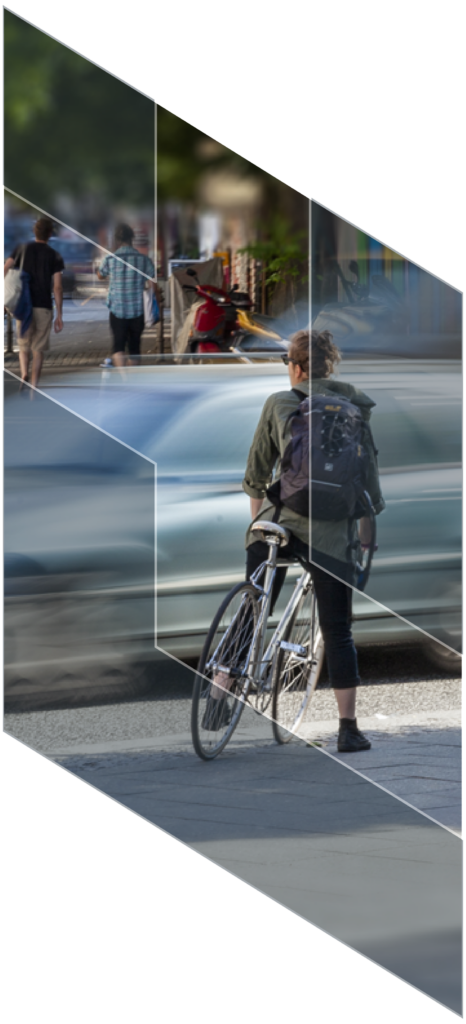
- Pedestrian and VRU
- Vehicles Detection
- Railroad Sensor, Camera and Messaging Integration
- Impact
- Over-Height Detection and Warning Systems
- Wrong-Way Detection
- Flood Detection
- Conditions Monitoring
- Custom Detection Solutions
IntelliTrafik Solutions
IntelliTrafik is partnered with Trigg Industries, who provide cutting-edge traffic overheight vehicle detection and warning systems:
- Over Height Vehicle Detection System (OHVDS)
Traffic light sensors stationed in intersections will provide the most accurate count of vehicle detection and provide precision with accuracy according to traffic volume. With this, over height can be detected and reduce the risk of incidents at busy areas of the road.
Traffic Detection Systems
Capture, analyze, and communicate data with road users instantly. Collect and apply the information you need.
ATS Traffic Catalogue Houston Radar
Houston Radar’s Advanced In-Radar traffic statistics is a unique best in class traffic statistics gathering and storage option available in all DR series radars. The advanced design of the statistics package allows it to track multiple targets simultaneously- a capability not possible in competing stats packages implemented outside the radar.
Acoustic and Pollution Traffic Sensors from Livable Cities – IntelliTrafik
Streetlights equipped with controls saves you energy by using the precise amount of energy you need and accurately measures every watt used.
DataFromSky Light Camera Sensors – IntelliTrafik
Turn any camera into traffic sensor, get valuable traffic data from any video.
Vehicle speed tracking on drone traffic video from Cayman Islands – advanced traffic analysis
对DataFromS跟踪的车辆是一个基本的任务ky in the field of traffic monitoring. This amazing shot has been captured by Aerial Innovations – our new partner for aerial traffic surveys in Cayman Islands.This video was recoded using our DataFromSky viewer. Recently we have released FLOW a super smart real time one traffic framework for all tasks.Using our visual traffic language FLOW is a walk in the park and it allows you to create a super smart multi sensor solution from ordinary video streams. For example FLOW can be used for parking, retail and safety too.Do not believe it? Try it for yourself! Follow our step by step guide in this article “https://lnkd.in/dUeriyT”Did you know that FLOW runs on multiple HW platforms?Some of them are:* TrafficCamera -ALL-IN-ONE-CAMERA solution – look at our applications on the Security & Safety Things | a Bosch Company store* TrafficEmbedded – the traffic brain for up to six camera streams power by NVIDIA Xavier* TrafficEnterprise – centralized server-based solution for huge camera networks for the cities of tomorrowWatch our 1st Webinar to learn more about FLOW here: “https://lnkd.in/dtaWF9U”Do you have any questions? Contact us! “https://datafromsky.com/contact-us”Follow us on Linkedin! “https://linkedin.com/company/datafromsky”Visit our homepage to view other products and news: “https://www.datafromsky.com/”Thank you for your interest! Have a great day!